Light Pollution Mapping Drones for Urban Planning
Understanding Light Pollution and Its Impact on Urban Environments
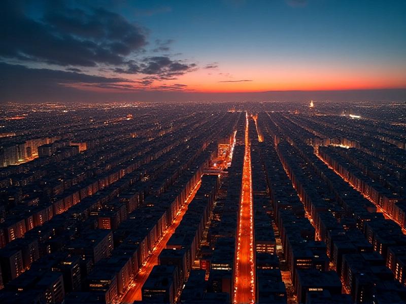
Light pollution, often referred to as the excessive or misdirected artificial light produced by urban areas, has become a growing concern for both environmentalists and urban planners. The phenomenon not only obscures our view of the night sky but also disrupts ecosystems, affects human health, and wastes energy. In cities, the glow from streetlights, buildings, and vehicles creates a dome of light that can be seen from miles away. This artificial brightness interferes with natural light cycles, impacting wildlife behavior and human circadian rhythms.
Urban planning plays a crucial role in mitigating light pollution. By understanding its sources and effects, planners can design cities that balance the need for illumination with environmental and health considerations. Traditional methods of measuring light pollution, such as satellite imagery, provide valuable data but often lack the granularity needed for precise urban planning. This is where innovative technologies like light pollution mapping drones come into play.
The Role of Drones in Mapping Light Pollution
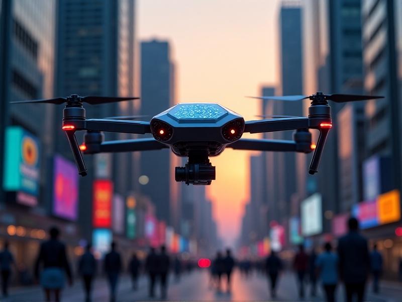
Drones have revolutionized data collection in various fields, and urban planning is no exception. Equipped with advanced sensors and cameras, drones can capture high-resolution images and data from specific locations, providing a detailed map of light pollution. Unlike satellites, drones can fly at lower altitudes and navigate complex urban landscapes, offering a more accurate and localized view of light distribution.
These mapping drones are equipped with photometric sensors that measure light intensity and spectral characteristics. By analyzing this data, urban planners can identify hotspots of excessive lighting, poorly designed fixtures, and areas where light spills into unintended spaces. This information is invaluable for creating targeted interventions to reduce light pollution while maintaining safety and functionality in urban areas.
Benefits of Light Pollution Mapping for Urban Planning
Integrating light pollution mapping into urban planning offers numerous benefits. First, it enables cities to adopt more sustainable lighting practices by identifying areas where lighting can be reduced or optimized. For example, replacing outdated streetlights with energy-efficient LED fixtures and installing motion sensors can significantly cut down on unnecessary illumination.
Second, reducing light pollution enhances the quality of life for residents. Excessive artificial light has been linked to sleep disorders, stress, and other health issues. By creating darker, more natural nighttime environments, cities can promote better sleep and overall well-being. Additionally, preserving dark skies benefits astronomy and fosters a connection to the natural world, which is often lost in urban settings.

Case Studies: Successful Implementation of Light Pollution Mapping
Several cities around the world have already embraced light pollution mapping drones as part of their urban planning strategies. For instance, the city of Tucson, Arizona, has implemented a comprehensive lighting ordinance based on data collected by drones. By regulating the intensity and direction of outdoor lighting, Tucson has significantly reduced light pollution while maintaining public safety.
Another example is the city of Ghent in Belgium, which used drone mapping to identify areas where lighting could be adjusted to protect wildlife. The city’s efforts have led to the creation of "dark corridors" that allow nocturnal animals to move freely without disruption. These case studies demonstrate the practical applications of light pollution mapping and its potential to transform urban environments.
Challenges and Future Directions in Light Pollution Mapping
Despite its potential, light pollution mapping using drones faces several challenges. One major issue is the cost of drone technology and the expertise required to operate and analyze the data. Smaller cities and developing countries may struggle to adopt this approach due to budget constraints. Additionally, privacy concerns arise when drones capture images of private properties and public spaces.
Looking ahead, advancements in drone technology and data analysis tools are expected to address these challenges. For example, the development of more affordable and user-friendly drones could make light pollution mapping accessible to a wider range of cities. Furthermore, integrating artificial intelligence into data analysis could streamline the process, making it easier for urban planners to interpret and act on the findings.
Conclusion: A Brighter Future for Urban Planning
Light pollution mapping drones represent a powerful tool for urban planners seeking to create more sustainable and livable cities. By providing detailed insights into the distribution and intensity of artificial light, these drones enable targeted interventions that reduce light pollution while maintaining safety and functionality. As technology continues to evolve, the potential for these tools to transform urban environments grows, offering hope for a future where cities and nature coexist harmoniously.